Lytchett Matravers, power lines
Introduction
The photograph on this page of Lytchett Matravers, power lines by Mike Faherty as part of the Geograph project.
The Geograph project started in 2005 with the aim of publishing, organising and preserving representative images for every square kilometre of Great Britain, Ireland and the Isle of Man.

There are currently over 7.5m images from over 14,400 individuals and you can help contribute to the project by visiting https://www.geograph.org.uk
Lytchett Matravers, power lines
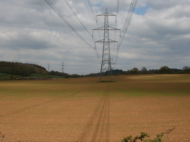
Image: © Mike Faherty Taken: 10 May 2010
Crossing arable land, part of a run from Old Park to Henbury.
Images are licensed for reuse under creativecommons.org/licenses/by-sa/2.0
Image Location
Latitude
50.772373
Longitude
-2.083619