Eroded bridle path
Introduction
The photograph on this page of Eroded bridle path by Jonathan Kington as part of the Geograph project.
The Geograph project started in 2005 with the aim of publishing, organising and preserving representative images for every square kilometre of Great Britain, Ireland and the Isle of Man.

There are currently over 7.5m images from over 14,400 individuals and you can help contribute to the project by visiting https://www.geograph.org.uk
Eroded bridle path
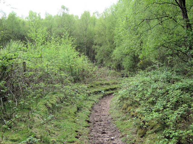
Image: © Jonathan Kington Taken: 4 May 2010
The stepped bank on the left of the path shows how much the bridle path has been eroded over the years.
Images are licensed for reuse under creativecommons.org/licenses/by-sa/2.0
Image Location
Latitude
53.184235
Longitude
-2.301039