Chapel Lane, upper end
Introduction
The photograph on this page of Chapel Lane, upper end by Robin Stott as part of the Geograph project.
The Geograph project started in 2005 with the aim of publishing, organising and preserving representative images for every square kilometre of Great Britain, Ireland and the Isle of Man.

There are currently over 7.5m images from over 14,400 individuals and you can help contribute to the project by visiting https://www.geograph.org.uk
Chapel Lane, upper end
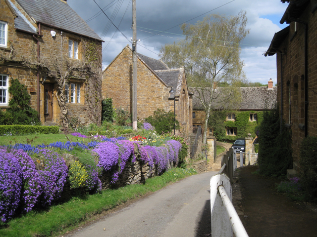
Image: © Robin Stott Taken: 25 Apr 2010
The building in the centre is the closed Wesleyan chapel, expected to be soon converted to a dwelling. A closer view is John Sutton's Image from 2013.
Images are licensed for reuse under creativecommons.org/licenses/by-sa/2.0
Image Location
Latitude
52.123599
Longitude
-1.44345