Maurice Thornton Playing Fields
Introduction
The photograph on this page of Maurice Thornton Playing Fields by Simon Carey as part of the Geograph project.
The Geograph project started in 2005 with the aim of publishing, organising and preserving representative images for every square kilometre of Great Britain, Ireland and the Isle of Man.

There are currently over 7.5m images from over 14,400 individuals and you can help contribute to the project by visiting https://www.geograph.org.uk
Maurice Thornton Playing Fields
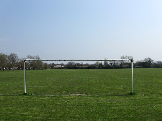
Image: © Simon Carey Taken: 15 Apr 2010
On the eastern edge of Hailsham off Marshfoot Lane. The land was known as Shaw Field on the 1844 tithe map.
Images are licensed for reuse under creativecommons.org/licenses/by-sa/2.0
Image Location
Latitude
50.863902
Longitude
0.27024