A bend on the River Tamar
Introduction
The photograph on this page of A bend on the River Tamar by Rod Allday as part of the Geograph project.
The Geograph project started in 2005 with the aim of publishing, organising and preserving representative images for every square kilometre of Great Britain, Ireland and the Isle of Man.

There are currently over 7.5m images from over 14,400 individuals and you can help contribute to the project by visiting https://www.geograph.org.uk
A bend on the River Tamar
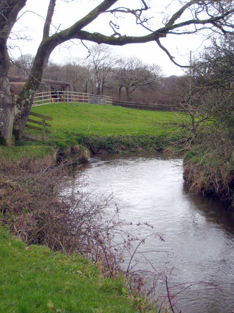
Image: © Rod Allday Taken: 3 Apr 2010
The Tamar here is in its infancy but, as for most of its length, it is significant in that it forms the boundary between Devon and Cornwall.
Images are licensed for reuse under creativecommons.org/licenses/by-sa/2.0
Image Location


Leaflet Map data © OpenStreetMap
Latitude
50.831327
Longitude
-4.444089