Blacksmiths Way viewed from Coedkernew Footbridge
Introduction
The photograph on this page of Blacksmiths Way viewed from Coedkernew Footbridge by Jaggery as part of the Geograph project.
The Geograph project started in 2005 with the aim of publishing, organising and preserving representative images for every square kilometre of Great Britain, Ireland and the Isle of Man.

There are currently over 7.5m images from over 14,400 individuals and you can help contribute to the project by visiting https://www.geograph.org.uk
Blacksmiths Way viewed from Coedkernew Footbridge
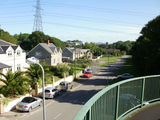
Image: © Jaggery Taken: 9 Sep 2009
Viewed from the footbridge http://www.geograph.org.uk/photo/633247 across the A48. Blacksmiths Way is separated from the M4 motorway to the north by a narrow strip of trees, part of which can be seen in front of the pylon.
Images are licensed for reuse under creativecommons.org/licenses/by-sa/2.0
Image Location
Latitude
51.555593
Longitude
-3.048569