Grantham Canal information board
Introduction
The photograph on this page of Grantham Canal information board by Kate Jewell as part of the Geograph project.
The Geograph project started in 2005 with the aim of publishing, organising and preserving representative images for every square kilometre of Great Britain, Ireland and the Isle of Man.

There are currently over 7.5m images from over 14,400 individuals and you can help contribute to the project by visiting https://www.geograph.org.uk
Grantham Canal information board
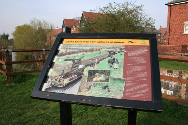
Image: © Kate Jewell Taken: 10 Apr 2010
This informative board has been sited by the new footbridge over the Bridgford lock. The bridge allows direct access from the new Gamston residential housing to the towpath along the canal which is developing into a valuable recreational resource along its 33 miles between the River Trent, Nottingham and Grantham. See http://www.granthamcanal.org/ for more information.
Images are licensed for reuse under creativecommons.org/licenses/by-sa/2.0
Image Location
Latitude
52.928694
Longitude
-1.110222