Housing along the banks of The River Idle Retford
Introduction
The photograph on this page of Housing along the banks of The River Idle Retford by Steve Fareham as part of the Geograph project.
The Geograph project started in 2005 with the aim of publishing, organising and preserving representative images for every square kilometre of Great Britain, Ireland and the Isle of Man.

There are currently over 7.5m images from over 14,400 individuals and you can help contribute to the project by visiting https://www.geograph.org.uk
Housing along the banks of The River Idle Retford
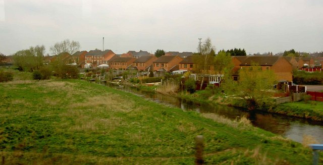
Image: © Steve Fareham Taken: 12 Apr 2010
From an east Coast Train final destination Aberdeen.
Images are licensed for reuse under creativecommons.org/licenses/by-sa/2.0
Image Location


Leaflet Map data © OpenStreetMap
Latitude
53.312872
Longitude
-0.942101