Wester Whin
Introduction
The photograph on this page of Wester Whin by Callum Black as part of the Geograph project.
The Geograph project started in 2005 with the aim of publishing, organising and preserving representative images for every square kilometre of Great Britain, Ireland and the Isle of Man.

There are currently over 7.5m images from over 14,400 individuals and you can help contribute to the project by visiting https://www.geograph.org.uk
Wester Whin
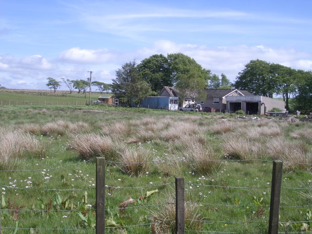
Image: © Callum Black Taken: 3 Jun 2006
Cottages at the end of the Wester Whin "dead end". The road is surfaced all the way to this point.
Images are licensed for reuse under creativecommons.org/licenses/by-sa/2.0
Image Location
Latitude
55.89802
Longitude
-3.815106