Idle Valley
Introduction
The photograph on this page of Idle Valley by Michael Patterson as part of the Geograph project.
The Geograph project started in 2005 with the aim of publishing, organising and preserving representative images for every square kilometre of Great Britain, Ireland and the Isle of Man.

There are currently over 7.5m images from over 14,400 individuals and you can help contribute to the project by visiting https://www.geograph.org.uk
Idle Valley
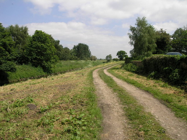
Image: © Michael Patterson Taken: 2 Jun 2006
At 9 metres above sea level and with a long way to go to meet the sea the River Idle is aptly named as it slowly falls to its destination.
Images are licensed for reuse under creativecommons.org/licenses/by-sa/2.0
Image Location
Latitude
53.35181
Longitude
-0.943842