Dol-y-Bont village
Introduction
The photograph on this page of Dol-y-Bont village by Chris Denny as part of the Geograph project.
The Geograph project started in 2005 with the aim of publishing, organising and preserving representative images for every square kilometre of Great Britain, Ireland and the Isle of Man.

There are currently over 7.5m images from over 14,400 individuals and you can help contribute to the project by visiting https://www.geograph.org.uk
Dol-y-Bont village
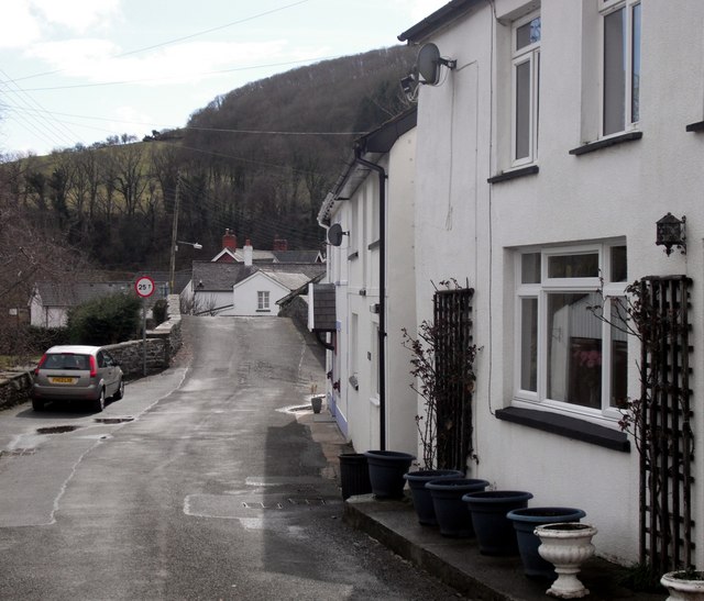
Image: © Chris Denny Taken: 2 Apr 2010
Looking down the main street to the bridge over the Afon Leri.
Images are licensed for reuse under creativecommons.org/licenses/by-sa/2.0
Image Location
Latitude
52.473722
Longitude
-4.026401