The Bonny Cravat Public House, Woodchurch
Introduction
The photograph on this page of The Bonny Cravat Public House, Woodchurch by David Anstiss as part of the Geograph project.
The Geograph project started in 2005 with the aim of publishing, organising and preserving representative images for every square kilometre of Great Britain, Ireland and the Isle of Man.

There are currently over 7.5m images from over 14,400 individuals and you can help contribute to the project by visiting https://www.geograph.org.uk
The Bonny Cravat Public House, Woodchurch
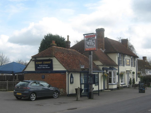
Image: © David Anstiss Taken: 5 Apr 2010
On Front Road. See http://www.davestanford.co.uk/bonnycravat/ for more details. Includes a partial history of the pub, name comes from a Bonny Cravat Farm. In the background is the Six Bells Public House, a neighbouring independent pub.
Images are licensed for reuse under creativecommons.org/licenses/by-sa/2.0
Image Location
Latitude
51.080773
Longitude
0.773022