Crossroads
Introduction
The photograph on this page of Crossroads by Ian Capper as part of the Geograph project.
The Geograph project started in 2005 with the aim of publishing, organising and preserving representative images for every square kilometre of Great Britain, Ireland and the Isle of Man.

There are currently over 7.5m images from over 14,400 individuals and you can help contribute to the project by visiting https://www.geograph.org.uk
Crossroads
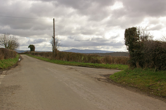
Image: © Ian Capper Taken: 28 Mar 2010
Where Forge Lane crosses the lane to Downton on the Rock. In the distance is Titterstone Clee Hill.
Images are licensed for reuse under creativecommons.org/licenses/by-sa/2.0
Image Location
Latitude
52.373164
Longitude
-2.80961