Bellgrove Station
Introduction
The photograph on this page of Bellgrove Station by Ben Brooksbank as part of the Geograph project.
The Geograph project started in 2005 with the aim of publishing, organising and preserving representative images for every square kilometre of Great Britain, Ireland and the Isle of Man.

There are currently over 7.5m images from over 14,400 individuals and you can help contribute to the project by visiting https://www.geograph.org.uk
Bellgrove Station
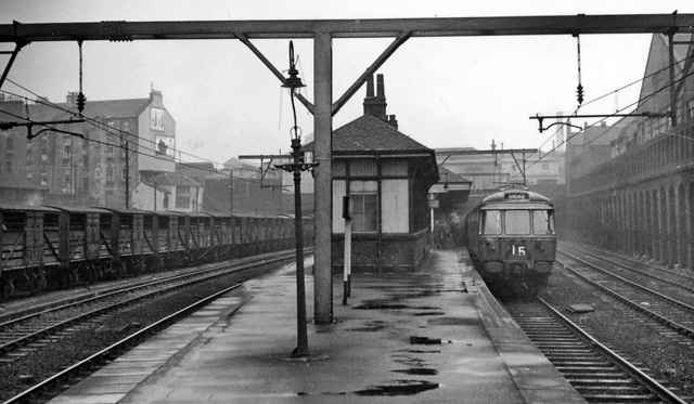
Image: © Ben Brooksbank Taken: 6 Oct 1961
View westward, towards Glasgow Queen St. (Low Level) ahead (also High St. Goods); on left City of Glasgow Union lines leading to St Enoch and Shields Road. Train is on North Clyde (ex-NBR) suburban lines (electrified 11/60).
Images are licensed for reuse under creativecommons.org/licenses/by-sa/2.0
Image Location
Latitude
55.856794
Longitude
-4.224299