Horsell Common
Introduction
The photograph on this page of Horsell Common by Alan Hunt as part of the Geograph project.
The Geograph project started in 2005 with the aim of publishing, organising and preserving representative images for every square kilometre of Great Britain, Ireland and the Isle of Man.

There are currently over 7.5m images from over 14,400 individuals and you can help contribute to the project by visiting https://www.geograph.org.uk
Horsell Common
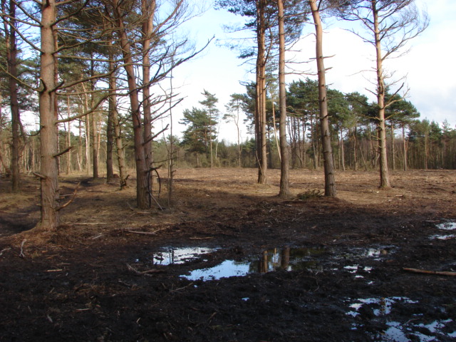
Image: © Alan Hunt Taken: 2 Apr 2010
The recently cleared area east of Horsell Common Road. The object is to create an open corridor between the western section along Littlewick Road and the main body of the common. It may look like the Somme at the moment but in 2 to 3 years the area will have regrown. I will endeavour to take a comparison shot in the due process of time.
Images are licensed for reuse under creativecommons.org/licenses/by-sa/2.0
Image Location
Latitude
51.333116
Longitude
-0.574587