Hornchurch Country Park Extension
Introduction
The photograph on this page of Hornchurch Country Park Extension by Glyn Baker as part of the Geograph project.
The Geograph project started in 2005 with the aim of publishing, organising and preserving representative images for every square kilometre of Great Britain, Ireland and the Isle of Man.

There are currently over 7.5m images from over 14,400 individuals and you can help contribute to the project by visiting https://www.geograph.org.uk
Hornchurch Country Park Extension
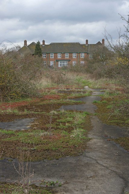
Image: © Glyn Baker Taken: 2 Apr 2010
This picture show the recent extension to Hornchurch Country Park http://www.havering.gov.uk/index.aspx?articleid=5023. The fences have been ripped down and you can see some future archaeology in the making underfoot. In the background is St Georges Hospital http://www.nhs.uk/ServiceDirectories/pages/Hospital.aspx?id=RATGG
Images are licensed for reuse under creativecommons.org/licenses/by-sa/2.0
Image Location
Latitude
51.545185
Longitude
0.21688