Grassland area in Grangetown
Introduction
The photograph on this page of Grassland area in Grangetown by Philip Barker as part of the Geograph project.
The Geograph project started in 2005 with the aim of publishing, organising and preserving representative images for every square kilometre of Great Britain, Ireland and the Isle of Man.

There are currently over 7.5m images from over 14,400 individuals and you can help contribute to the project by visiting https://www.geograph.org.uk
Grassland area in Grangetown
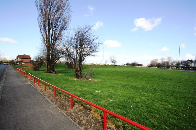
Image: © Philip Barker Taken: 1 Apr 2010
This photograph shows a view of one of the fabricated grassland areas in the Grangetown area of Teesside. The A1085 road can be seen in the right-hand side of the image. The picture was taken looking in a north-north-easterly direction towards Teesside Works, Lackenby.
Images are licensed for reuse under creativecommons.org/licenses/by-sa/2.0
Image Location
Latitude
54.579186
Longitude
-1.14226