Kryenbye
Introduction
The photograph on this page of Kryenbye by Oliver Dixon as part of the Geograph project.
The Geograph project started in 2005 with the aim of publishing, organising and preserving representative images for every square kilometre of Great Britain, Ireland and the Isle of Man.

There are currently over 7.5m images from over 14,400 individuals and you can help contribute to the project by visiting https://www.geograph.org.uk
Kryenbye
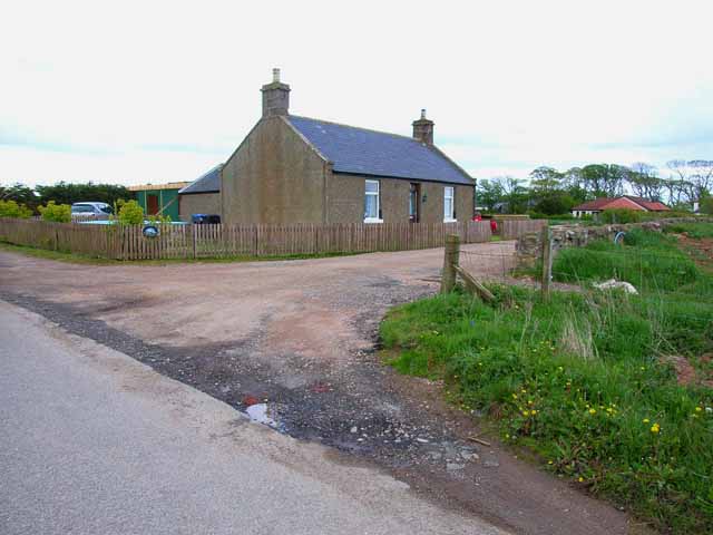
Image: © Oliver Dixon Taken: 25 May 2006
Cotbank of Hilton beyond. Seen from National Cycle Network route 1 which runs from the north of Shetland, generally keeping close to the east coast down to Dover. http://www.sustrans.org.uk/default.asp?sID=1215164805562
Images are licensed for reuse under creativecommons.org/licenses/by-sa/2.0
Image Location


Leaflet Map data © OpenStreetMap
Latitude
56.905756
Longitude
-2.213435