Partly dismantled railway bridge on Greenhills
Introduction
The photograph on this page of Partly dismantled railway bridge on Greenhills by David Anstiss as part of the Geograph project.
The Geograph project started in 2005 with the aim of publishing, organising and preserving representative images for every square kilometre of Great Britain, Ireland and the Isle of Man.

There are currently over 7.5m images from over 14,400 individuals and you can help contribute to the project by visiting https://www.geograph.org.uk
Partly dismantled railway bridge on Greenhills
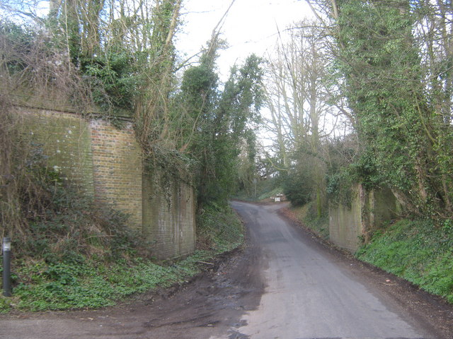
Image: © David Anstiss Taken: 26 Mar 2010
This lane leads from Barham towards Covert Wood and Palmstead. The bridge used to carry the defunct Elham Valley Railway leading from Folkestone to Canterbury. See http://en.wikipedia.org/wiki/Elham_Valley_Railway for more details.
Images are licensed for reuse under creativecommons.org/licenses/by-sa/2.0
Image Location


Leaflet Map data © OpenStreetMap
Latitude
51.207165
Longitude
1.155331