Soundwell Road
Introduction
The photograph on this page of Soundwell Road by Derek Harper as part of the Geograph project.
The Geograph project started in 2005 with the aim of publishing, organising and preserving representative images for every square kilometre of Great Britain, Ireland and the Isle of Man.

There are currently over 7.5m images from over 14,400 individuals and you can help contribute to the project by visiting https://www.geograph.org.uk
Soundwell Road
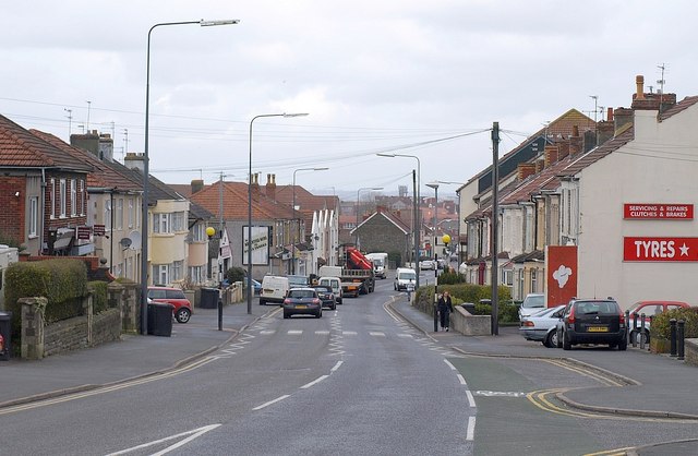
Image: © Derek Harper Taken: 26 Mar 2010
The A4017 passing through Upper Soundwell, close to the site of the Downcast coal pit. The area supplied much-needed fuel for the industries of the Bristol area, but retained an independent spirit; Soundwell Road has several C19 non-conformist chapels.
Images are licensed for reuse under creativecommons.org/licenses/by-sa/2.0
Image Location
Latitude
51.473849
Longitude
-2.508199