The A485 in Lledrod
Introduction
The photograph on this page of The A485 in Lledrod by Nigel Brown as part of the Geograph project.
The Geograph project started in 2005 with the aim of publishing, organising and preserving representative images for every square kilometre of Great Britain, Ireland and the Isle of Man.

There are currently over 7.5m images from over 14,400 individuals and you can help contribute to the project by visiting https://www.geograph.org.uk
The A485 in Lledrod
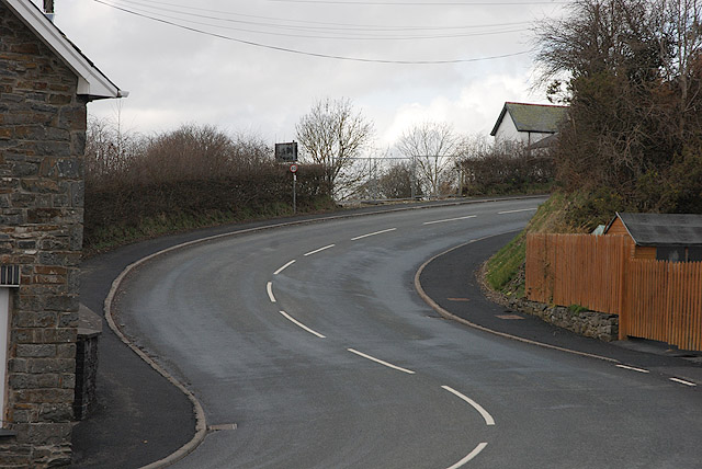
Image: © Nigel Brown Taken: 26 Mar 2010
Both steep and winding as it passes through the hub of the village.
Images are licensed for reuse under creativecommons.org/licenses/by-sa/2.0
Image Location
Latitude
52.314668
Longitude
-3.989049