Bridge on Fairbridge Way
Introduction
The photograph on this page of Bridge on Fairbridge Way by Robin Webster as part of the Geograph project.
The Geograph project started in 2005 with the aim of publishing, organising and preserving representative images for every square kilometre of Great Britain, Ireland and the Isle of Man.

There are currently over 7.5m images from over 14,400 individuals and you can help contribute to the project by visiting https://www.geograph.org.uk
Bridge on Fairbridge Way
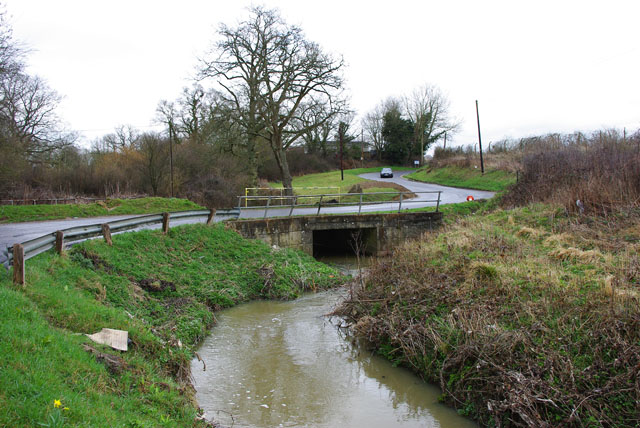
Image: © Robin Webster Taken: 26 Mar 2010
Fairbridge Way starts near where the main road crosses the same stream by Fairplace Bridge, so this is probably not Fair Bridge. The surroundings here are rather far from fair - they include an old sewage works, the town dump, and one of the less fair sorts of caravan park.
Images are licensed for reuse under creativecommons.org/licenses/by-sa/2.0
Image Location
Latitude
50.968874
Longitude
-0.137127