Arable land near Lower Beobridge, Shropshire
Introduction
The photograph on this page of Arable land near Lower Beobridge, Shropshire by Roger D Kidd as part of the Geograph project.
The Geograph project started in 2005 with the aim of publishing, organising and preserving representative images for every square kilometre of Great Britain, Ireland and the Isle of Man.

There are currently over 7.5m images from over 14,400 individuals and you can help contribute to the project by visiting https://www.geograph.org.uk
Arable land near Lower Beobridge, Shropshire
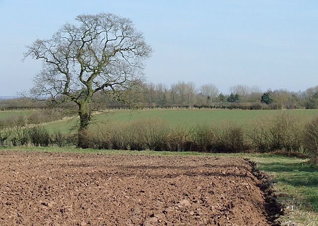
Image: © Roger D Kidd Taken: 17 Mar 2010
The bridleway is to the right just off the picture. Looking at the current Google satellite image and today's photographs, it seems that fields here are rotated between potato, rape, or a cereal crop.
Images are licensed for reuse under creativecommons.org/licenses/by-sa/2.0
Image Location
Latitude
52.517726
Longitude
-2.31376