Lawrence Street
Introduction
The photograph on this page of Lawrence Street by Martin Addison as part of the Geograph project.
The Geograph project started in 2005 with the aim of publishing, organising and preserving representative images for every square kilometre of Great Britain, Ireland and the Isle of Man.

There are currently over 7.5m images from over 14,400 individuals and you can help contribute to the project by visiting https://www.geograph.org.uk
Lawrence Street
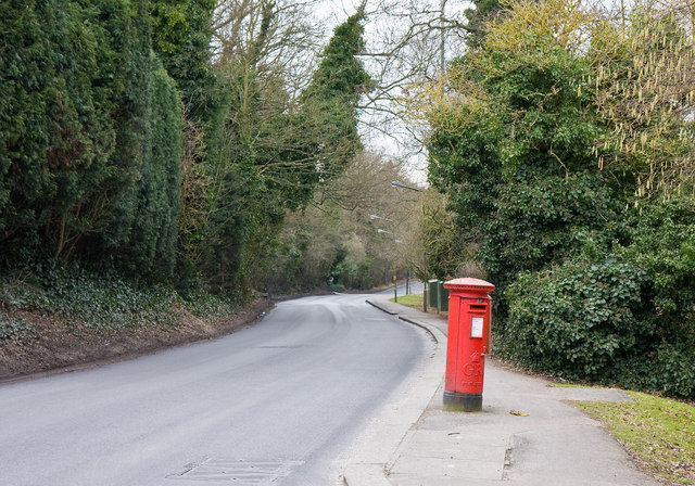
Image: © Martin Addison Taken: 10 Mar 2010
Seen from the junction with Lawrence Gardens. A George V post box stands at a bit of an angle on the pavement. There is pavement along only one side of Lawrence Street for almost its entire length. The opposite side being mainly open fields associated with St. Joseph's College.
Images are licensed for reuse under creativecommons.org/licenses/by-sa/2.0
Image Location
Latitude
51.624206
Longitude
-0.237832