View across farmland towards a standing stone
Introduction
The photograph on this page of View across farmland towards a standing stone by Eric Jones as part of the Geograph project.
The Geograph project started in 2005 with the aim of publishing, organising and preserving representative images for every square kilometre of Great Britain, Ireland and the Isle of Man.

There are currently over 7.5m images from over 14,400 individuals and you can help contribute to the project by visiting https://www.geograph.org.uk
View across farmland towards a standing stone
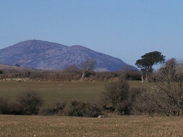
Image: © Eric Jones Taken: 9 Mar 2010
The stone visible from the road stands in the field with a Scots Pine at its entrance. The stone is marked on earlier editions of the OS map as a "hirfaen" i.e. long stone. The Eifl range forms the background.
Images are licensed for reuse under creativecommons.org/licenses/by-sa/2.0
Image Location
Latitude
52.940689
Longitude
-4.285693