Bridge and Weir, Billing Arbours
Introduction
The photograph on this page of Bridge and Weir, Billing Arbours by Kokai as part of the Geograph project.
The Geograph project started in 2005 with the aim of publishing, organising and preserving representative images for every square kilometre of Great Britain, Ireland and the Isle of Man.

There are currently over 7.5m images from over 14,400 individuals and you can help contribute to the project by visiting https://www.geograph.org.uk
Bridge and Weir, Billing Arbours
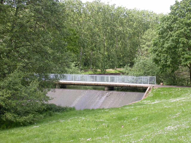
Image: © Kokai Taken: 23 May 2006
Taken from the road which runs north along the east side of the Arbours. The weir is at the south end of the lake.
Images are licensed for reuse under creativecommons.org/licenses/by-sa/2.0
Image Location
Latitude
52.265724
Longitude
-0.836486