Bailey Gate Station
Introduction
The photograph on this page of Bailey Gate Station by Ben Brooksbank as part of the Geograph project.
The Geograph project started in 2005 with the aim of publishing, organising and preserving representative images for every square kilometre of Great Britain, Ireland and the Isle of Man.

There are currently over 7.5m images from over 14,400 individuals and you can help contribute to the project by visiting https://www.geograph.org.uk
Bailey Gate Station
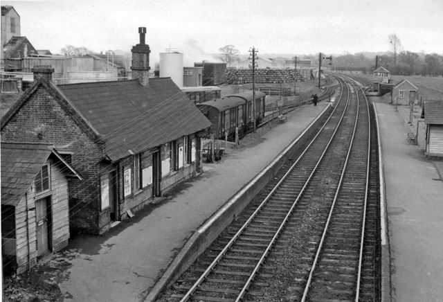
Image: © Ben Brooksbank Taken: 20 Apr 1963
View SE, towards Bournemouth (Somerset & Dorset main line). Line and station closed March 1966.
Images are licensed for reuse under creativecommons.org/licenses/by-sa/2.0
Image Location
Latitude
50.794591
Longitude
-2.073727