Coire Chearcaill track, Invervar
Introduction
The photograph on this page of Coire Chearcaill track, Invervar by Richard Webb as part of the Geograph project.
The Geograph project started in 2005 with the aim of publishing, organising and preserving representative images for every square kilometre of Great Britain, Ireland and the Isle of Man.

There are currently over 7.5m images from over 14,400 individuals and you can help contribute to the project by visiting https://www.geograph.org.uk
Coire Chearcaill track, Invervar
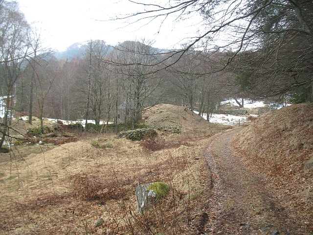
Image: © Richard Webb Taken: 7 Mar 2010
Track running up into the hills from the 'phone box in Invervar. The round building is a restored lint mill.
Images are licensed for reuse under creativecommons.org/licenses/by-sa/2.0
Image Location
Latitude
56.608232
Longitude
-4.17623