The Lincoln to Sleaford joint line
Introduction
The photograph on this page of The Lincoln to Sleaford joint line by roger geach as part of the Geograph project.
The Geograph project started in 2005 with the aim of publishing, organising and preserving representative images for every square kilometre of Great Britain, Ireland and the Isle of Man.

There are currently over 7.5m images from over 14,400 individuals and you can help contribute to the project by visiting https://www.geograph.org.uk
The Lincoln to Sleaford joint line
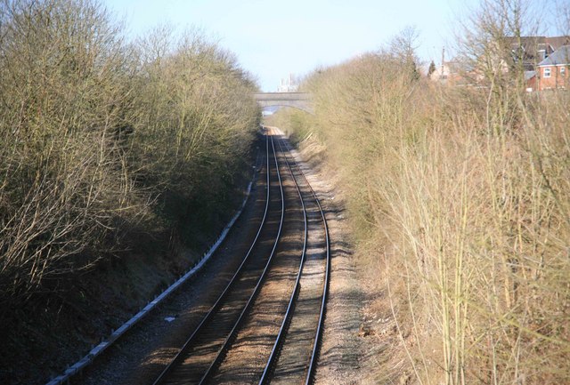
Image: © roger geach Taken: 7 Mar 2010
Seen from a over bridge on the outskirts of Washingborough looking towards Lincoln with the cathedral visible on the horizon.
Images are licensed for reuse under creativecommons.org/licenses/by-sa/2.0
Image Location
Latitude
53.219667
Longitude
-0.478147