Hendon Central Circus
Introduction
The photograph on this page of Hendon Central Circus by Martin Addison as part of the Geograph project.
The Geograph project started in 2005 with the aim of publishing, organising and preserving representative images for every square kilometre of Great Britain, Ireland and the Isle of Man.

There are currently over 7.5m images from over 14,400 individuals and you can help contribute to the project by visiting https://www.geograph.org.uk
Hendon Central Circus
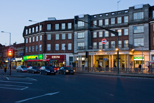
Image: © Martin Addison Taken: 2 Mar 2010
A view from the central reservation pedestrian area looking towards Hendon Central Station and Watford Way. Because of the angle at which Queens Road joins Watford Way, this is the longest 'side' to the Circus. Southbound Traffic is light at this time of night, but northbound there is a long tailback.
Images are licensed for reuse under creativecommons.org/licenses/by-sa/2.0
Image Location
Latitude
51.583034
Longitude
-0.226724