A4048 approaches The Rock
Introduction
The photograph on this page of A4048 approaches The Rock by Jaggery as part of the Geograph project.
The Geograph project started in 2005 with the aim of publishing, organising and preserving representative images for every square kilometre of Great Britain, Ireland and the Isle of Man.

There are currently over 7.5m images from over 14,400 individuals and you can help contribute to the project by visiting https://www.geograph.org.uk
A4048 approaches The Rock
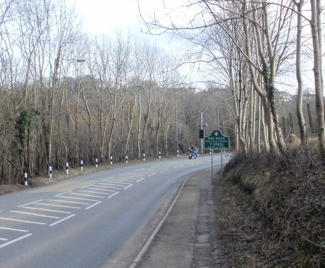
Image: © Jaggery Taken: 1 Mar 2010
The green sign alongside a bend in the A4048 marks the northern boundary of The Rock (Y Graig in Welsh), on the approach from Argoed.
Images are licensed for reuse under creativecommons.org/licenses/by-sa/2.0
Image Location
Latitude
51.685548
Longitude
-3.187546