Goodymoor Lane, Wells
Introduction
The photograph on this page of Goodymoor Lane, Wells by Derek Harper as part of the Geograph project.
The Geograph project started in 2005 with the aim of publishing, organising and preserving representative images for every square kilometre of Great Britain, Ireland and the Isle of Man.

There are currently over 7.5m images from over 14,400 individuals and you can help contribute to the project by visiting https://www.geograph.org.uk
Goodymoor Lane, Wells
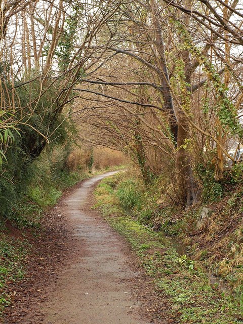
Image: © Derek Harper Taken: 22 Feb 2010
With trees alongside and a small watercourse (heading for the River Axe) on the right, footpath WS 17/37 follows the line of an old lane through the modern Goodymoor estate on the northwest side of Wells. On the left are the rears of properties on Goodymoor Avenue.
Images are licensed for reuse under creativecommons.org/licenses/by-sa/2.0
Image Location
Latitude
51.213663
Longitude
-2.66267