Upton, Laurel Cottage
Introduction
The photograph on this page of Upton, Laurel Cottage by Mike Faherty as part of the Geograph project.
The Geograph project started in 2005 with the aim of publishing, organising and preserving representative images for every square kilometre of Great Britain, Ireland and the Isle of Man.

There are currently over 7.5m images from over 14,400 individuals and you can help contribute to the project by visiting https://www.geograph.org.uk
Upton, Laurel Cottage
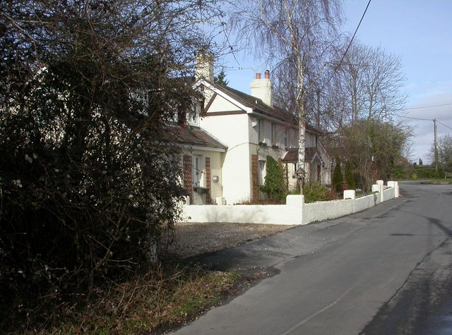
Image: © Mike Faherty Taken: 27 Feb 2010
At the northern end of Slough Lane, looking mostly a lot older than other nearby properties.
Images are licensed for reuse under creativecommons.org/licenses/by-sa/2.0
Image Location
Latitude
50.736065
Longitude
-2.042034