Old Castlandhill Road
Introduction
The photograph on this page of Old Castlandhill Road by Robert Struthers as part of the Geograph project.
The Geograph project started in 2005 with the aim of publishing, organising and preserving representative images for every square kilometre of Great Britain, Ireland and the Isle of Man.

There are currently over 7.5m images from over 14,400 individuals and you can help contribute to the project by visiting https://www.geograph.org.uk
Old Castlandhill Road
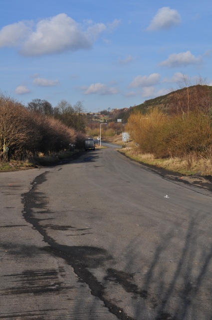
Image: © Robert Struthers Taken: 20 Feb 2010
This was formerly Castlandhill Road, looking towards Rosyth - it has been bypassed with a new straighter section and is now a lay-by.
Images are licensed for reuse under creativecommons.org/licenses/by-sa/2.0
Image Location
Latitude
56.023914
Longitude
-3.410079