Structure at Joyford
Introduction
The photograph on this page of Structure at Joyford by Derek Harper as part of the Geograph project.
The Geograph project started in 2005 with the aim of publishing, organising and preserving representative images for every square kilometre of Great Britain, Ireland and the Isle of Man.

There are currently over 7.5m images from over 14,400 individuals and you can help contribute to the project by visiting https://www.geograph.org.uk
Structure at Joyford
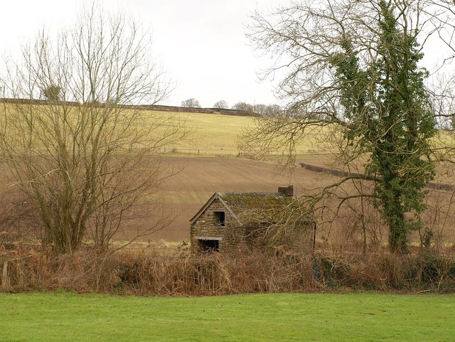
Image: © Derek Harper Taken: 2 Feb 2010
I would guess that this little building might be a wellhouse or pumphouse. Seen from Wellmeadow Lane, one of a maze of tiny back lanes, many of them now overgrown.
Images are licensed for reuse under creativecommons.org/licenses/by-sa/2.0
Image Location
Latitude
51.81735
Longitude
-2.614333