Signs in Hamstreet
Introduction
The photograph on this page of Signs in Hamstreet by David Anstiss as part of the Geograph project.
The Geograph project started in 2005 with the aim of publishing, organising and preserving representative images for every square kilometre of Great Britain, Ireland and the Isle of Man.

There are currently over 7.5m images from over 14,400 individuals and you can help contribute to the project by visiting https://www.geograph.org.uk
Signs in Hamstreet
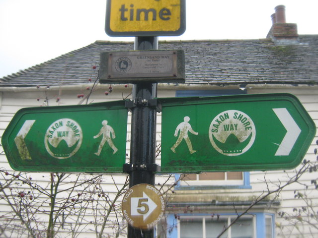
Image: © David Anstiss Taken: 21 Feb 2010
On the crossroads of The Street and the B2067 Ruckinge Road. Shows the Saxon Shore Way going through the village. The smaller sign above shows the Start/End of the Greensand Way - 55 mile walk from Limpsfield Chart, Surrey TQ3854.
Images are licensed for reuse under creativecommons.org/licenses/by-sa/2.0
Image Location
Latitude
51.064968
Longitude
0.854154