Bridgwater & Taunton Canal
Introduction
The photograph on this page of Bridgwater & Taunton Canal by Derek Harper as part of the Geograph project.
The Geograph project started in 2005 with the aim of publishing, organising and preserving representative images for every square kilometre of Great Britain, Ireland and the Isle of Man.

There are currently over 7.5m images from over 14,400 individuals and you can help contribute to the project by visiting https://www.geograph.org.uk
Bridgwater & Taunton Canal
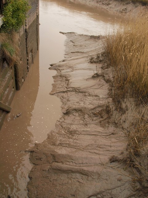
Image: © Derek Harper Taken: 15 Feb 2010
The canal enters the River Parrett below a ship lock and Image after its 22 kilometres journey. There is no navigable link between the two waterways, as the canal is used for transporting drinking water for Bridgwater. I don't think the muddy stretch shown is included in this.
Images are licensed for reuse under creativecommons.org/licenses/by-sa/2.0
Image Location
Latitude
51.133542
Longitude
-3.003676