Unmanaged woodland, Hurtmore, Shackleford
Introduction
The photograph on this page of Unmanaged woodland, Hurtmore, Shackleford by Humphrey Bolton as part of the Geograph project.
The Geograph project started in 2005 with the aim of publishing, organising and preserving representative images for every square kilometre of Great Britain, Ireland and the Isle of Man.

There are currently over 7.5m images from over 14,400 individuals and you can help contribute to the project by visiting https://www.geograph.org.uk
Unmanaged woodland, Hurtmore, Shackleford
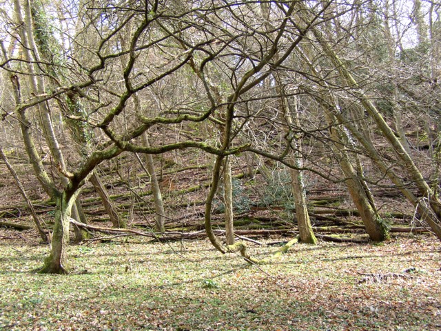
Image: © Humphrey Bolton Taken: 1 Apr 2006
In the background there are rows of tree trunks lying on the ground, perhaps the result of a gale years ago? It appears that the owner did not consider it worthwhile to remove them, so they are now a resource for wildlife.
Images are licensed for reuse under creativecommons.org/licenses/by-sa/2.0
Image Location


Leaflet Map data © OpenStreetMap
Latitude
51.196298
Longitude
-0.638924