Passage under the railway
Introduction
The photograph on this page of Passage under the railway by Andrew Darge as part of the Geograph project.
The Geograph project started in 2005 with the aim of publishing, organising and preserving representative images for every square kilometre of Great Britain, Ireland and the Isle of Man.

There are currently over 7.5m images from over 14,400 individuals and you can help contribute to the project by visiting https://www.geograph.org.uk
Passage under the railway
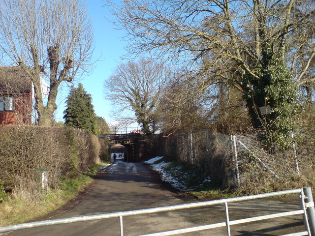
Image: © Andrew Darge Taken: 20 Feb 2010
The western side of this old accommodation bridge that also serves as a way for the oil pipeline installed in the war as part of the secret network that brought bulk supplies from refineries near Liverpool down to the south and thence to the Normandy beach head via PLUTO (Pipeline Under The Ocean )
Images are licensed for reuse under creativecommons.org/licenses/by-sa/2.0
Image Location
Latitude
52.175449
Longitude
-2.198832