Service area, A55 westbound
Introduction
The photograph on this page of Service area, A55 westbound by David Dixon as part of the Geograph project.
The Geograph project started in 2005 with the aim of publishing, organising and preserving representative images for every square kilometre of Great Britain, Ireland and the Isle of Man.

There are currently over 7.5m images from over 14,400 individuals and you can help contribute to the project by visiting https://www.geograph.org.uk
Service area, A55 westbound
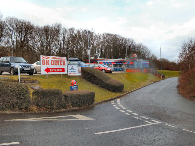
Image: © David Dixon Taken: 15 Feb 2010
The access road between McDonald's and OK Diner, leading back onto the A55 westbound between Ewloe Green and Northop Hall.
Images are licensed for reuse under creativecommons.org/licenses/by-sa/2.0
Image Location
Latitude
53.19211
Longitude
-3.081486