Water course
Introduction
The photograph on this page of Water course by Derek Cummings as part of the Geograph project.
The Geograph project started in 2005 with the aim of publishing, organising and preserving representative images for every square kilometre of Great Britain, Ireland and the Isle of Man.

There are currently over 7.5m images from over 14,400 individuals and you can help contribute to the project by visiting https://www.geograph.org.uk
Water course
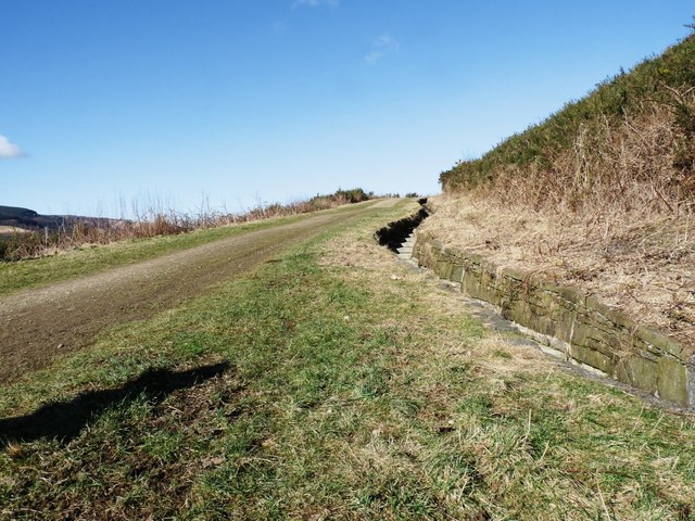
Image: © Derek Cummings Taken: 14 Feb 2010
Most land that has been reclaimed from mining activity has large areas of coal slag below. Lessons were learned for the Aberfan disaster and for this reason watercourses are built into the land to ensure water is drained from the land.
Images are licensed for reuse under creativecommons.org/licenses/by-sa/2.0
Image Location
Latitude
51.656862
Longitude
-3.494724