Junction of Brynglas Road and Brynglas Drive, Newport
Introduction
The photograph on this page of Junction of Brynglas Road and Brynglas Drive, Newport by Jaggery as part of the Geograph project.
The Geograph project started in 2005 with the aim of publishing, organising and preserving representative images for every square kilometre of Great Britain, Ireland and the Isle of Man.

There are currently over 7.5m images from over 14,400 individuals and you can help contribute to the project by visiting https://www.geograph.org.uk
Junction of Brynglas Road and Brynglas Drive, Newport
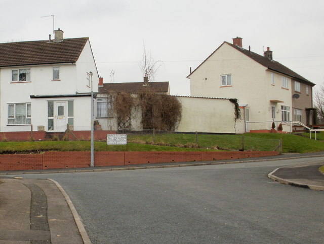
Image: © Jaggery Taken: 7 Feb 2010
The north end of Brynglas Road connects with Brynglas Drive, which forms an elongated loop around the highest part of Brynglas. The sign suggests turning left for Brynglas Court and 1-81 and 2-56 Brynglas Drive and turning right for Brynglas Close and 108-58 Brynglas Drive. There are no odd-numbered houses along this section of Brynglas Drive because it is occupied by Brynglas Primary School. http://www.geograph.org.uk/photo/1696390
Images are licensed for reuse under creativecommons.org/licenses/by-sa/2.0
Image Location
Latitude
51.606377
Longitude
-2.999197