The B6278 road at Edmundbyers
Introduction
The photograph on this page of The B6278 road at Edmundbyers by Philip Barker as part of the Geograph project.
The Geograph project started in 2005 with the aim of publishing, organising and preserving representative images for every square kilometre of Great Britain, Ireland and the Isle of Man.

There are currently over 7.5m images from over 14,400 individuals and you can help contribute to the project by visiting https://www.geograph.org.uk
The B6278 road at Edmundbyers
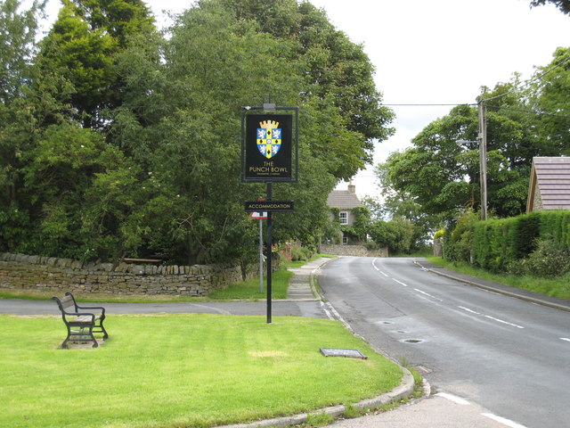
Image: © Philip Barker Taken: 20 Jul 2008
This photograph shows a view of the B6278 minor road as it passes the Punch Bowl inn in the small village of Edmundbyers. The picture was taken looking in a north-easterly direction towards the youth hostel.
Images are licensed for reuse under creativecommons.org/licenses/by-sa/2.0
Image Location
Latitude
54.845078
Longitude
-1.975053