The Freemasons Arms Pub, Droitwich
Introduction
The photograph on this page of The Freemasons Arms Pub, Droitwich by canalandriversidepubs co uk as part of the Geograph project.
The Geograph project started in 2005 with the aim of publishing, organising and preserving representative images for every square kilometre of Great Britain, Ireland and the Isle of Man.

There are currently over 7.5m images from over 14,400 individuals and you can help contribute to the project by visiting https://www.geograph.org.uk
The Freemasons Arms Pub, Droitwich
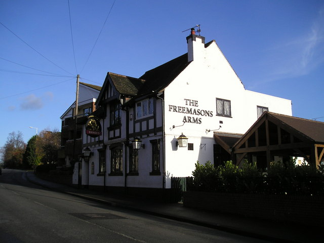
Image: © canalandriversidepubs co uk Taken: 5 Feb 2010
Bromsgrove Road, Hill End, Droitwich, WR9 8LZ close to the Droitwich Junction Canal
Images are licensed for reuse under creativecommons.org/licenses/by-sa/2.0
Image Location
Latitude
52.270289
Longitude
-2.14269