The Counting Houses, Coaley Lane, near Wentworth - 1
Introduction
The photograph on this page of The Counting Houses, Coaley Lane, near Wentworth - 1 by Terry Robinson as part of the Geograph project.
The Geograph project started in 2005 with the aim of publishing, organising and preserving representative images for every square kilometre of Great Britain, Ireland and the Isle of Man.

There are currently over 7.5m images from over 14,400 individuals and you can help contribute to the project by visiting https://www.geograph.org.uk
The Counting Houses, Coaley Lane, near Wentworth - 1
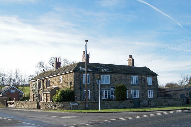
Image: © Terry Robinson Taken: 31 Jan 2010
These cottages, on the junction of Coaley Lane (sometimes spelt Coley). Elsecar Road and Smithy Bridge Lane, are known as 'The Counting Houses' ... Many years ago they were used as the headquarters for a number of small coal pits that once thrived in the neighborhood, and the monies earned were counted and distributed from here. Image
Images are licensed for reuse under creativecommons.org/licenses/by-sa/2.0
Image Location
Latitude
53.49934
Longitude
-1.383848