Entrance to Great East Hall Development
Introduction
The photograph on this page of Entrance to Great East Hall Development by David Anstiss as part of the Geograph project.
The Geograph project started in 2005 with the aim of publishing, organising and preserving representative images for every square kilometre of Great Britain, Ireland and the Isle of Man.

There are currently over 7.5m images from over 14,400 individuals and you can help contribute to the project by visiting https://www.geograph.org.uk
Entrance to Great East Hall Development
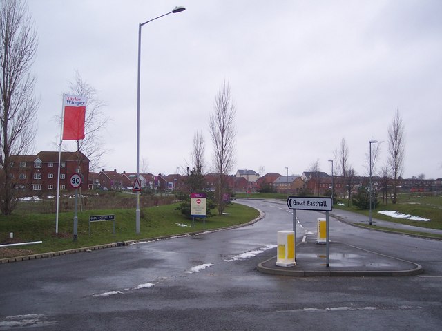
Image: © David Anstiss Taken: 16 Jan 2010
Seen from the roundabout on Swale Way. Mulberry Road leads into the estate. Some houses have been finished, but more are still to be built. Currently, this is the only way in and out (by car).
Images are licensed for reuse under creativecommons.org/licenses/by-sa/2.0
Image Location
Latitude
51.344124
Longitude
0.765343