Path between the gardens
Introduction
The photograph on this page of Path between the gardens by Penny Mayes as part of the Geograph project.
The Geograph project started in 2005 with the aim of publishing, organising and preserving representative images for every square kilometre of Great Britain, Ireland and the Isle of Man.

There are currently over 7.5m images from over 14,400 individuals and you can help contribute to the project by visiting https://www.geograph.org.uk
Path between the gardens
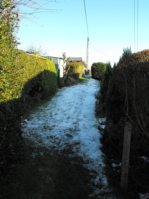
Image: © Penny Mayes Taken: 25 Dec 2009
Gardens behind the hedge on the left belong to gardens in Coed y ffridd on Barn Lane. Those behind the hedge on the right belong to Y Ffrydd bungalows.
Images are licensed for reuse under creativecommons.org/licenses/by-sa/2.0
Image Location
Latitude
52.517719
Longitude
-3.310226