Chelsea: development at Imperial Wharf
Introduction
The photograph on this page of Chelsea: development at Imperial Wharf by Chris Downer as part of the Geograph project.
The Geograph project started in 2005 with the aim of publishing, organising and preserving representative images for every square kilometre of Great Britain, Ireland and the Isle of Man.

There are currently over 7.5m images from over 14,400 individuals and you can help contribute to the project by visiting https://www.geograph.org.uk
Chelsea: development at Imperial Wharf
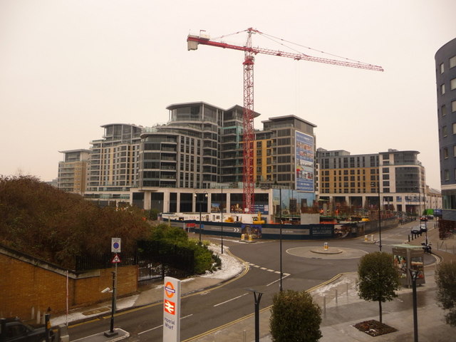
Image: © Chris Downer Taken: 11 Jan 2010
Modern buildings on the way in this area which is undergoing considerable redevelopment. We are looking down from the northbound platform of the elevated Image
Images are licensed for reuse under creativecommons.org/licenses/by-sa/2.0
Image Location
Latitude
51.47328
Longitude
-0.182601