Footpath to Pevensey High Street
Introduction
The photograph on this page of Footpath to Pevensey High Street by Simon Carey as part of the Geograph project.
The Geograph project started in 2005 with the aim of publishing, organising and preserving representative images for every square kilometre of Great Britain, Ireland and the Isle of Man.

There are currently over 7.5m images from over 14,400 individuals and you can help contribute to the project by visiting https://www.geograph.org.uk
Footpath to Pevensey High Street
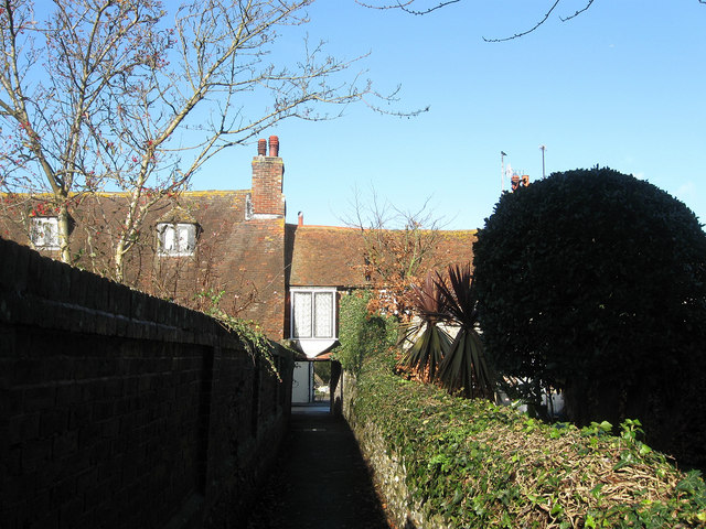
Image: © Simon Carey Taken: 17 Jan 2010
Linking the B2191 with Church Lane which runs parallel with it to the south. Penthouse Cottages are the buildings the path goes underneath which does require a little head drooping to negotiate it.
Images are licensed for reuse under creativecommons.org/licenses/by-sa/2.0
Image Location
Latitude
50.820214
Longitude
0.337408