Salmond's Muir
Introduction
The photograph on this page of Salmond's Muir by Richard Webb as part of the Geograph project.
The Geograph project started in 2005 with the aim of publishing, organising and preserving representative images for every square kilometre of Great Britain, Ireland and the Isle of Man.

There are currently over 7.5m images from over 14,400 individuals and you can help contribute to the project by visiting https://www.geograph.org.uk
Salmond's Muir
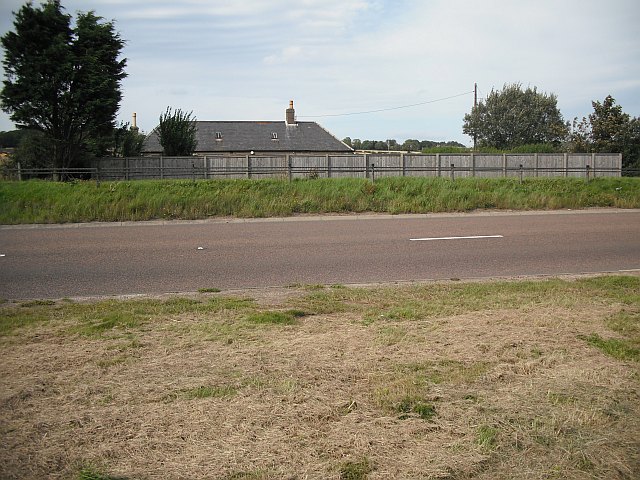
Image: © Richard Webb Taken: 7 Sep 2009
A house beside the A92 has a high fence beside it. Once it would have been further from the road, but the A92 has been recently widened to make a dual carriageway from Dundee to Arbroath.
Images are licensed for reuse under creativecommons.org/licenses/by-sa/2.0
Image Location
Latitude
56.5316
Longitude
-2.682954